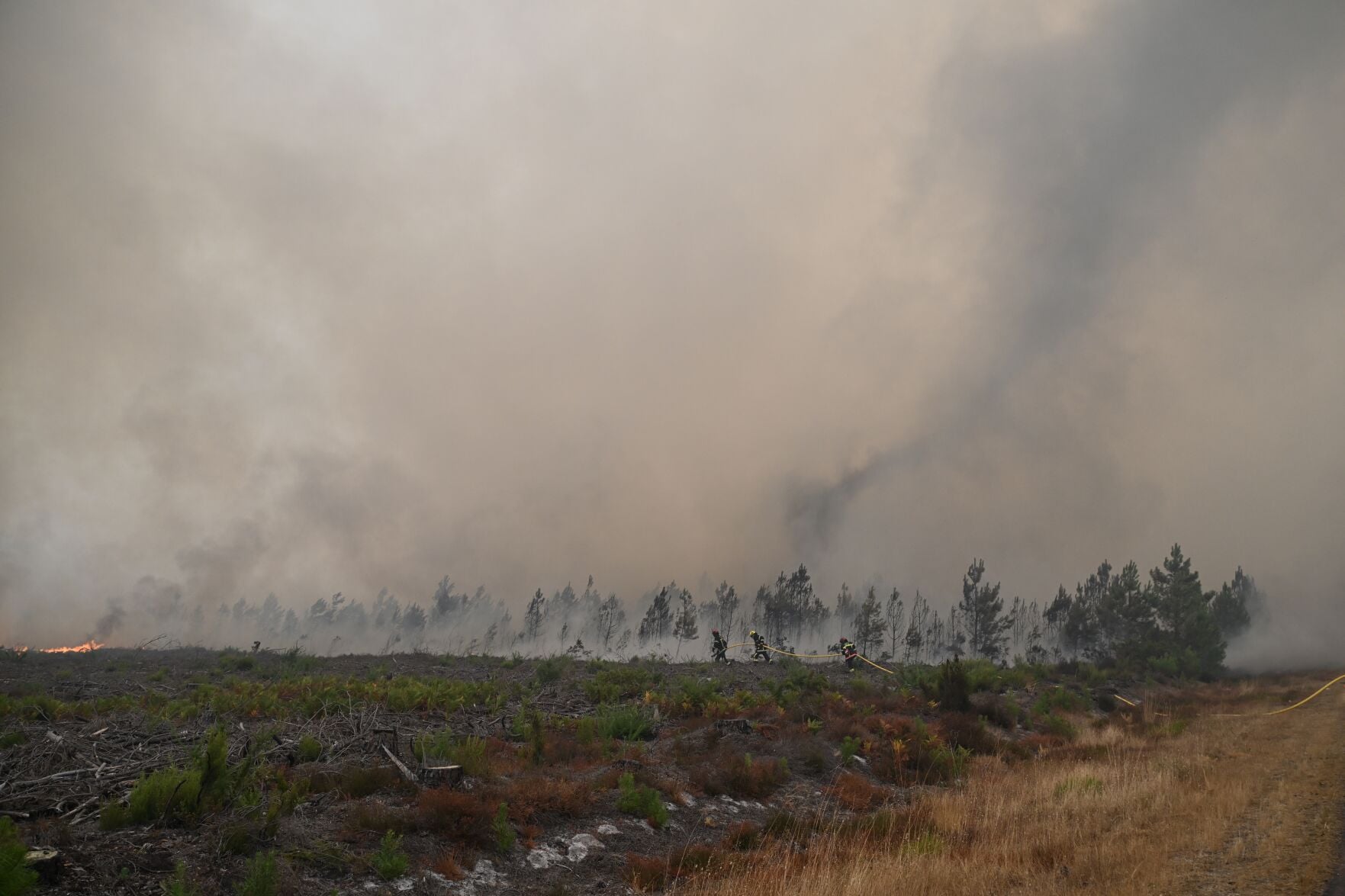
The Thermodynamics of Extreme Atmospheric Injection
When a surface thermal anomaly achieves sufficient intensity, it overcomes standard boundary layer stability and generates its own convective weather system. The meteorological phenomenon known as pyrocumulonimbus represents a catastrophic breakdown of normal atmospheric governance. Instead of weather systems dictating the behavior of surface fires, the energetic output of the fire dictates the behavior of the troposphere.
Understanding this transition requires analyzing the energy release rate per unit area. Standard wildfires liberate thermal energy through the exothermic oxidation of cellulosic material. When this energy release concentrates within a restricted spatial footprint, the localized buoyancy flux spikes.
The Buoyancy Flux Threshold
The vertical velocity of an updraft depends directly on the temperature differential between the parcel of air and the surrounding environment. In a standard convective storm, solar radiation provides this differential over hours. A high-intensity wildfire compresses this timeline into minutes.
- Sensible Heat Release: The primary driver of initial plume rise, transferring thermal energy directly to ambient air molecules.
- Moisture Injection: Combustion releases water vapor as a direct byproduct of hydrocarbon breakdown, while the intense heat simultaneously evaporates moisture from surrounding vegetation and soil.
- Vorticity Generation: As the column of air ascends rapidly, ambient horizontal winds shear the updraft, inducing rotation and creating localized mesocyclones within the smoke plume.
This combination of intense thermal uplift and moisture condensation creates a towering vertical structure that breaches the tropopause. The system functions as a thermodynamic engine operating far outside standard meteorological parameters.
The Three Phases of Fire Weather Coupling
The escalation from a surface wildfire to a self-sustaining atmospheric engine follows a strict sequence of physical stages. Each phase introduces feedback loops that accelerate both the combustion rate and the severity of the generated weather.
Phase One: Convective Plume Domination
In the initial stage, the fire acts as a localized heat source. The sensible heat flux generates a buoyant plume of smoke and gases that rises until it reaches equilibrium with the ambient atmospheric temperature profile. At this point, standard cumulus clouds may form atop the column if sufficient moisture exists in the entrained air. The atmosphere remains in control; the fire responds to ambient wind fields, and the plume simply traces the existing air currents.
Phase Two: Latent Heat Reinforcement
As the updraft intensifies, it draws in surrounding lower-troposphere air laden with moisture. As this air ascends and cools adiabatically, the water vapor reaches its dew point and condenses. Condensation releases latent heat into the ascending parcel.
This latent heat release acts as an internal booster rocket. It warms the parcel further, increasing its buoyancy relative to the environment and accelerating the vertical velocity of the updraft. The system transitions from a purely heat-driven plume to a hybrid storm engine powered by both sensible fire heat and latent condensation energy.
Phase Three: Tropospheric Breaching and Collapse
When the updraft velocity exceeds twenty to thirty meters per second, the cloud penetrates the stratosphere, forming the characteristic anvil shape of a pyrocumulonimbus. At this terminal stage, the upper-level winds disperse the massive ice-crystal anvil.
Eventually, the moisture within the cloud becomes too heavy for the updraft to sustain, or the surface fire intensity wanes due to fuel consumption. The system collapses, generating violent, erratic downdrafts known as downbursts or fire-induced microbursts. These downdrafts slam into the burning zone, scattering embers in all directions and causing explosive, unpredictable fire spread.
The Fluid Dynamics of Fire Induced Vorticity
The interaction between a massive thermal updraft and the surrounding regional wind field creates complex fluid dynamics that routinely bypass standard forecasting models. When a column of hot air rises at extreme speeds, it creates a massive low-pressure zone at the surface beneath the plume.
Inflow Generation and Oxygen Supply
The low-pressure anomaly acts as a vacuum, sucking air inward from all directions to feed the base of the fire. This creates high-velocity surface winds that converge on the fire perimeter from miles away.
Ambient Air Flow -> Radial Convergence -> Low Pressure Core -> Extreme Updraft Velocity
This radial convergence increases the oxygen supply to the combustion zone. The fire burns hotter, releases more energy per second, and accelerates the updraft further. This positive feedback loop is the primary mechanism that transforms controllable suppression efforts into runaway disaster scenarios.
The Angular Momentum Problem
As convergent winds feed the core, any preexisting rotation in the regional atmosphere is conserved and amplified through the conservation of angular momentum. Much like an ice skater pulling their arms inward, the rapid convergence of air toward the fire center concentrates spin.
This dynamic occasionally gives rise to fire tornadoes or pyrotornadic activity. These vortices possess wind speeds equivalent to moderate-to-severe traditional tornadoes, capable of snapping mature timber, lofting burning debris hundreds of meters, and completely altering the local fire vector.
Operational Limitations in Atmospheric Observation
Meteorological agencies and fire management teams face distinct operational blind spots when attempting to monitor and predict these events. Traditional radar networks and satellite sensors operate on temporal and spatial resolutions designed for synoptic weather systems rather than high-intensity, localized thermodynamic anomalies.
Satellite Resolution Deficits
Geostationary weather satellites provide continuous coverage but lack the spatial resolution required to detect the fine-scale thermal gradients that trigger extreme plume development. Conversely, polar-orbiting satellites offer high-resolution imagery but pass over any given location only twice daily. A pyrocumulonimbus event can ignite, peak, and collapse entirely between orbital windows.
Radar Attenuation and Calibration
Weather radar systems rely on the reflection of electromagnetic pulses off precipitation particles. In a pyrocumulonimbus environment, the atmosphere is saturated with dense smoke particulate, ash, and soot rather than standard water droplets or ice crystals.
- Scattering Interference: Smoke aerosols scatter radar beams, creating blind spots or severely distorted reflectivity values.
- Misidentification: Algorithms designed to estimate rainfall rates fail when applied to plumes composed primarily of solid carbon and mineral ash.
- Doppler Limitations: Wind shear calculations within the smoke plume often register false velocity vectors due to the rapidly changing density of the particulate matter.
Strategic Forecast and Risk Mitigation Architecture
Mitigating the risks associated with fire-generated weather systems requires a fundamental shift in how incident commanders assess atmospheric stability. Traditional fire weather indices focus heavily on relative humidity, surface temperature, and fuel moisture. These metrics are insufficient for predicting crown fires that transition into atmospheric storms.
To achieve predictive accuracy, operational protocols must incorporate atmospheric sounding data that evaluates the entire troposeric column. Specifically, meteorologists must calculate the Haines Index and equivalent potential temperature profiles to identify environments where the lower atmosphere is conditionally unstable.
When the sounding data indicates high instability coupled with heavy fuel loading, suppression resources must immediately pivot from offensive containment to defensive withdrawal. Attempting direct attack on a fire perimeter when the overhead column is primed for pyrocumulonimbus development exposes personnel to extreme downdraft risks and sudden, erratic wind reversals. Operational planning must treat the atmosphere above the fire not as a neutral canopy, but as an active, volatile participant in the combustion process.

/GettyImages-157526585-93425538070d4422ad42d22af28c0758.jpg)