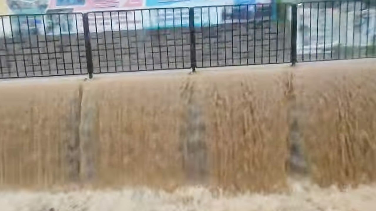
You see a video of a major highway turned into a raging muddy river, cars submerged up to their roofs, and pavements completely overflowing. Your immediate reaction might be to call it out. We live in an era where digital manipulation is everywhere, so it makes sense that people are skeptical.
That is exactly what happened when terrifying clips of severe flash flooding in Hong Kong started circulating on social media. The imagery looked so intense that online onlookers openly claimed the footage was either outdated or generated by artificial intelligence. But local residents quickly shut down the doubters by dropping fresh, real-time videos from their own windows to prove the disaster was happening right then and there.
The reality is that parts of Hong Kong just faced over 70mm of intense rainfall within a single 24-hour period. This deluge triggered sudden flash floods that transformed everyday suburban streets into dangerous waterways.
The Viral Skepticism Explaining the Real-Time Proof
When a photograph emerged showing severe flash flooding near Tsuen Wan's Allway Gardens, it immediately sparked intense debate in local Facebook groups. The water levels looked catastrophic. Because the internet is flooded with old media repackaged as breaking news, commenters quickly labeled the post as fake.
Then the community took over. A resident who lives in the village houses directly above the flooded Tsuen Wan spot stepped in, posting fresh video footage from that morning. They explicitly noted they wanted to prove the situation was entirely real.
Another resident joined the digital defense, uploading a video filmed from her car window in Fanling. The clip showed pavements completely underwater, overwhelmed by the storm, while bright flashes of lightning illuminated the sky. These raw, unedited glimpses of the storm provided undeniable proof that the infrastructure was genuinely struggling under the weight of the downpour.
Understanding the Severe Weather Signals
The local weather forecaster, the Hong Kong Observatory, confirmed that the severe weather hit multiple regions hard. Areas like Pok Fu Lam on Hong Kong Island, along with Sha Tin, Tai Po, Sai Kung, and Tseung Kwan O in the New Territories, all recorded at least 70mm of rain.
Hong Kong relies on a color-coded rainstorm warning system to protect its citizens. The system scale runs from Amber to Red, and finally to Black for the most severe, catastrophic deluges.
- Amber Signal: Indicates heavy rain exceeding 30mm per hour has fallen or is expected, alerting residents to potential flooding in low-lying areas.
- Red Signal: Means rain has exceeded 50mm per hour and is highly likely to cause serious road congestion and flooding.
- Black Signal: The highest alert, meaning formatting-busting rainfall exceeding 70mm per hour is actively falling, bringing the city to a standstill.
The Observatory has already issued the thunderstorm alert five times since the start of July 2026. This follows an incredibly wet June, which racked up a massive 600.5mm of total rainfall. Even more alarming, meteorologists had to issue the maximum Black rainstorm warning twice in a single day on June 18, 2026. That double-header marked an absolute first for the city's weather records.
The Climate Driver Behind the Record Rainfall
This is not just a run-of-the-mill bad summer. Meteorologists point to a massive climate culprit shaping weather patterns across the Pacific Ocean. A powerful El Nino pattern has been aggressively developing, and scientists warn it carries a significant chance of strengthening into a historic "Super El Nino."
This massive climate phenomenon alters atmospheric pressure and shifts wind patterns. For southern China and Hong Kong, it frequently translates to a dramatic surge in moisture and highly unpredictable, ultra-intense rainfall events. When that much moisture hits a highly urbanized, concrete-heavy environment, the water simply has nowhere to go.
Staying Safe and Prepared During Flash Floods
If you find yourself navigating an area prone to sudden, severe downpours, relying solely on social media updates is a mistake. You need to take direct action to protect your safety and your property.
First, download official weather apps that push real-time alerts the moment a signal changes from Amber to Red or Black. Do not wait until you see water rising on your street to check the radar.
Second, if you live in low-lying village areas or near natural river channels, keep sandbags or flood barriers ready before the summer storm season peaks. Flash floods move with incredible speed. By the time a river overflows its banks, it is usually too late to move vehicles or secure ground-floor entryways.
Finally, if you are driving and encounter a heavily flooded street, turn around. It takes surprisingly little moving water to sweep a vehicle off its path or stall an engine, leaving you stranded in a rapidly escalating emergency.