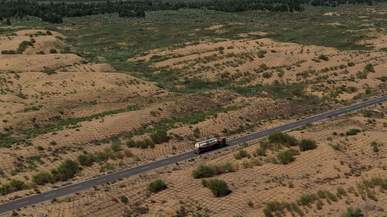
Geopolitics rarely smells like fresh asphalt, but along the high-altitude friction points of High Asia, engineering is war by other means. Beijing is quietly stitching together an infrastructural monstrosity: an approximate 27,000-kilometer transport loop hugging its land frontiers and eastern coastline. Promoted by state planners as a civilian economic corridor, this project—dubbed the golden outer ring—binds three massive national arteries into a continuous, heavy-duty ribbon.
For New Delhi, this is not merely a civil engineering milestone. It is a calculated perimeter of concrete and steel designed to solve Beijing’s historical vulnerabilities on the frontier, fundamentally altering the military balance along an undemarcated and frequently volatile border. You might also find this connected story interesting: Why Every Number You Hear About Iran Is Propaganda And Nobody Cares About The Math.
Anatomy of the Loop
The project is an exercise in continental consolidation. Rather than constructing a single brand-new track from scratch, the Chinese Ministry of Transport is integrating three sprawling existing and expanding routes: the G219, the G331, and the G228.
The northern arm, the G331, runs for roughly 9,200 kilometers from Xinjiang across the Inner Mongolian grasslands to Dandong in Liaoning province, keeping a watchful eye on the Russian, Mongolian, and North Korean frontiers. Down the eastern edge, the G228 traces the coastline for 7,400 kilometers. As reported in detailed coverage by TIME, the implications are widespread.
However, the crown jewel and the primary source of anxiety for Indian planners is the western and southern anchor: the G219. Stretching over 10,000 kilometers from Kanas in Xinjiang down to Dongxing in Guangxi, this highway tracks the Himalayan divide. It snakes through the forbidding terrain of the Tibetan Plateau, crawling past terrain that commands direct lines of sight toward South Asia.
This is not a project born yesterday. The original Xinjiang-Tibet section of the G219 cut straight through Aksai Chin—territory administered by Beijing but claimed by New Delhi. The clandestine construction of that very road in the 1950s was a primary catalyst for the 1962 Sino-Indian War. What is happening now is an aggressive modernization and expansion of that foundational threat, transforming a primitive, highly vulnerable mountain track into a multi-lane, all-weather military logistics highway.
Strategic Redundancy and Dual-Use Logic
Armies march on their stomachs, but modern mechanized divisions move on high-load asphalt and hardened tunnels. For decades, the People's Liberation Army faced a severe structural bottleneck in Tibet and Xinjiang. Troops, fuel, and heavy artillery relied on a limited number of vulnerable radial highways extending outward from inland Chinese hubs. If a bridge collapsed or a landslide choked a pass, entire operational sectors faced isolation.
The golden loop changes this mathematical equation entirely. By creating a continuous perimeter, Beijing introduces structural redundancy. If a primary supply artery is severed by enemy kinetic action, seismic activity, or adverse weather, logistical convoys can simply be rerouted laterally around the loop.
Engineering feats like the breakthrough glacier tunnels in the Tianshan mountains are slashing transit times between major regional sectors from days to mere hours. In a hypothetical conflict scenario, this allows for the rapid, unimpeded shifting of theatre reserves from one military sector to another. A mechanized brigade stationed in China’s western interior can pivot toward the eastern sector or descend rapidly toward the Himalayan valleys with minimal friction.
Civilian utility serves as a convenient diplomatic shield. State media emphasizes tourism, border stability, and the integration of minority populations in Tibet and Xinjiang into the coastal economic mainstream. Luxury camp sites, viewing platforms, and trade ports are sprouting along the route. Yet, as transport ministry briefings quietly acknowledge, every civilian-grade logistics hub, fuel depot, and reinforced bridge is engineered to double as a dual-use military asset during an emergency.
The Response from New Delhi
India is not standing still, but geography remains an unforgiving master. New Delhi has accelerated its own border infrastructure push, driving critical tunnels like the Atal Tunnel and rushing completion of the Darbuk-Shok-Daulat Beg Oldie road to match Chinese lateral connectivity. Strategic bridges, advanced landing grounds, and all-weather passes are changing the tactical reality for Indian forces in Ladakh and Arunachal Pradesh.
Even so, the sheer scale of China's industrial capacity presents a persistent asymmetry. Beijing operates with interior lines of communication that are largely shielded by high-altitude plateaus, whereas Indian supply lines often climb vertically from the plains up against steep grade gradients.
The completion of this 27,000-kilometer net by 2030 means that the Himalayan frontier will no longer be defined by seasonal windows of movement. It will be permanently active, permanently monitored, and permanently reinforced. The asphalt winding through the dust and ice of the roof of the world is hardening into a permanent geopolitical barrier, and the shadow it casts over South Asian security will outlast any diplomatic communique.
China Plans 27,000-km 'Golden Outer Ring Road' Linking Borders and Coast
This video outlines the broad scope of China's 27,000-kilometer transport loop project, detailing its path across border and coastal regions.